
Trig 00-00: Opening Problem
The Gravia Mountains
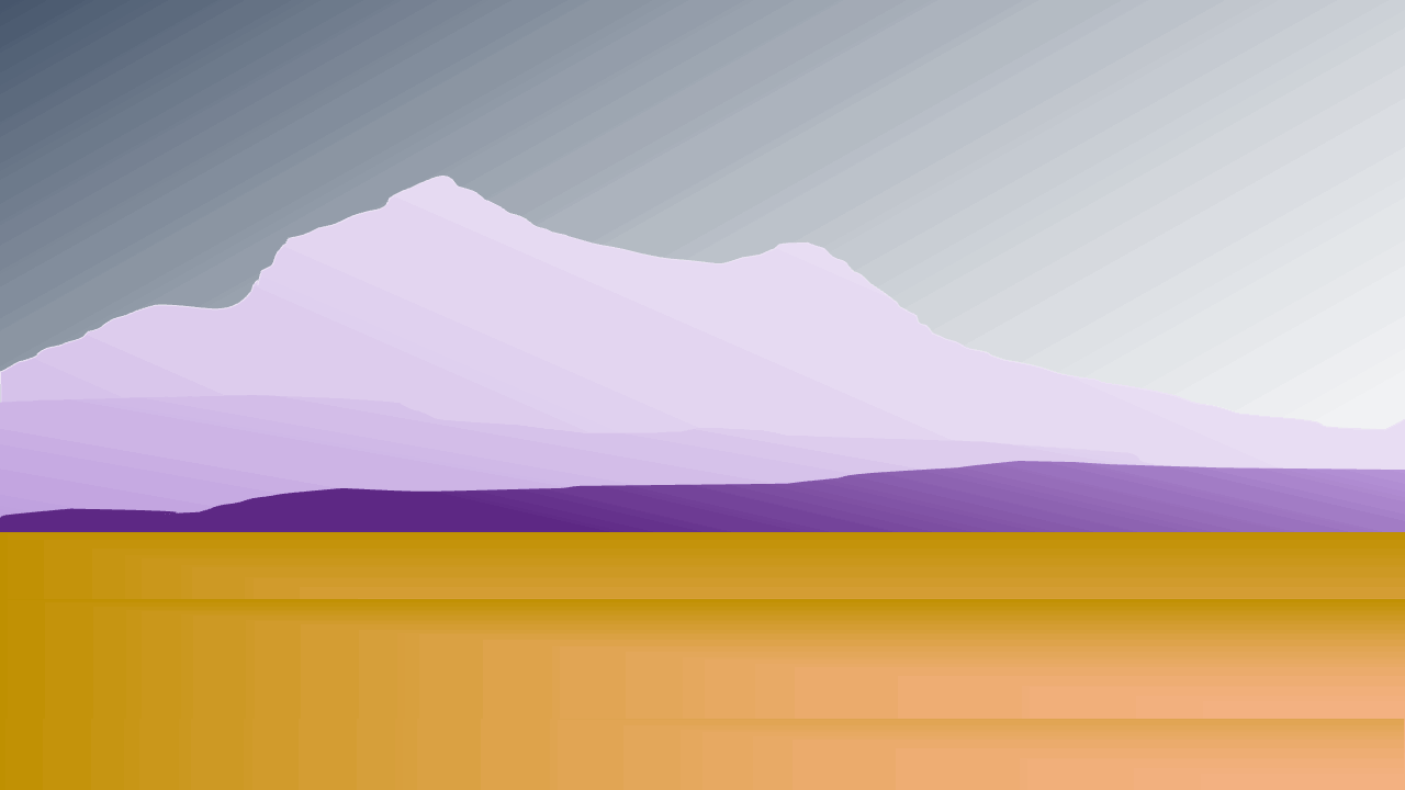
Surface of Nortic VI
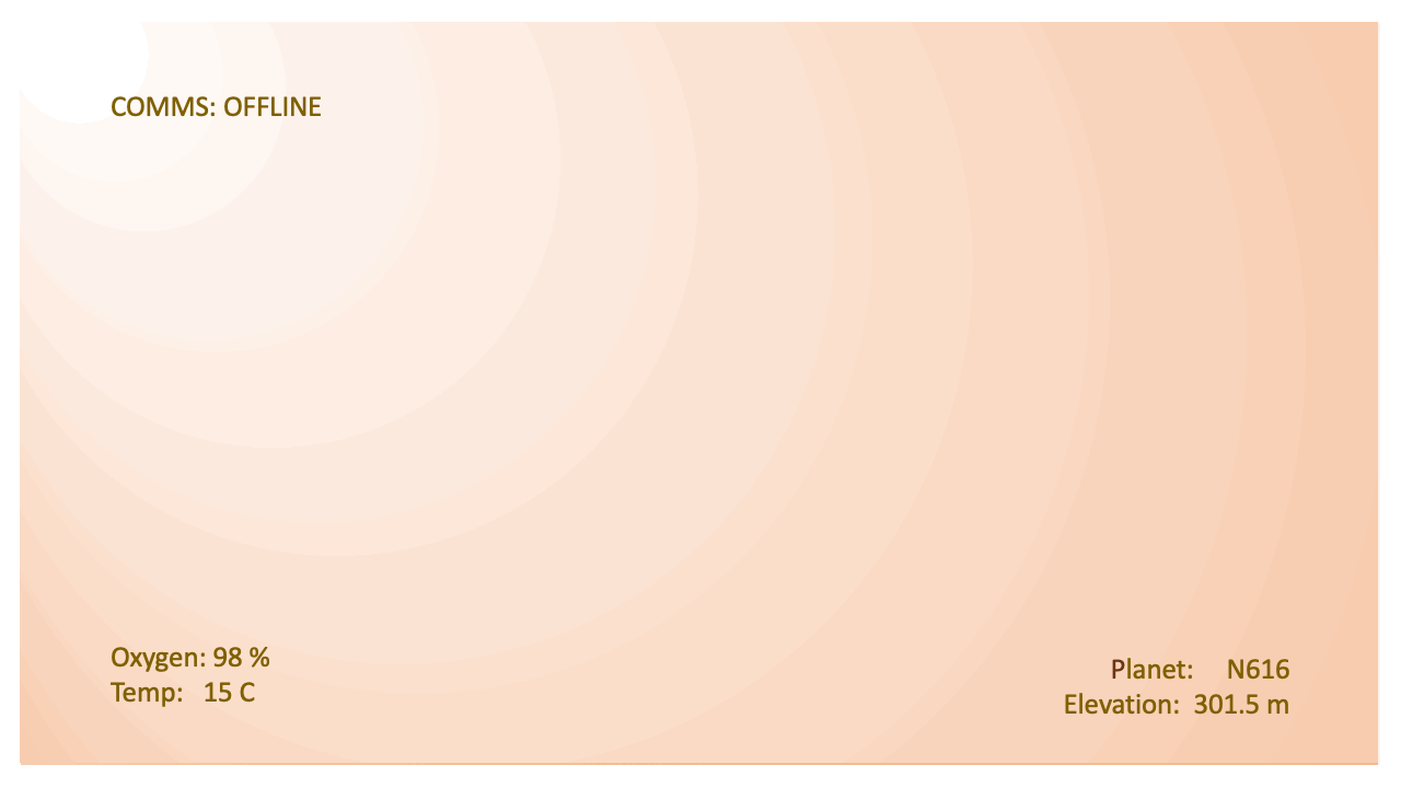
Commander Matic finds herself on the surface of Nortic VI. Due to an unforeseen wind storm, her craft has landed separate from her team on the other side of the Gravia Mountains.
LiDAR and COMMS systems are down.
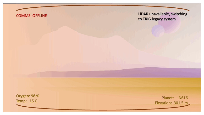
Matic queries the offline computer system for the shortest crossing of Gravia. The legacy TRIG system switches on...
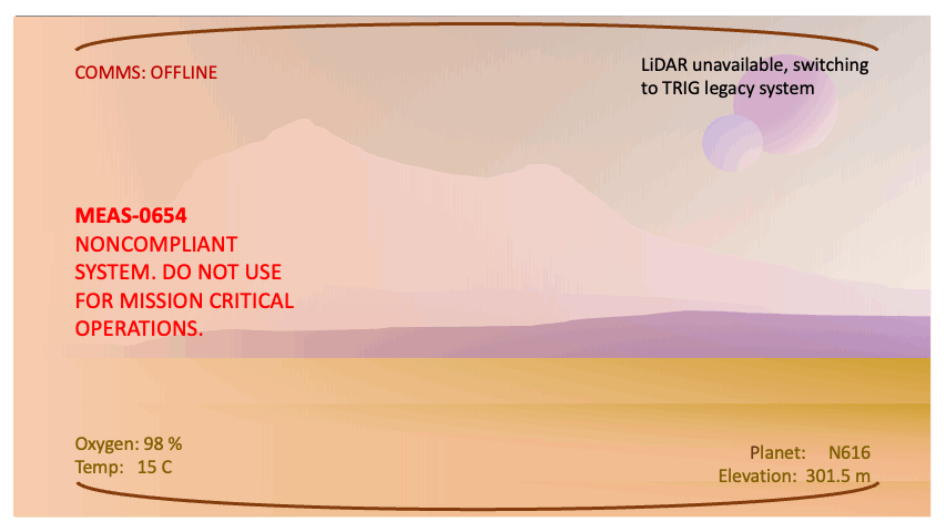
WARNING: MEAS-0654 NONCOMPLIANT SYSTEM. DO NOT USE FOR MISSION CRITICAL OPERATIONS flashes on the screen.
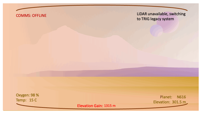
Matic takes a few steps forward and in the top right corner of the HUD, an elevation reading updates live as she begins her approach.
This brings us to our question: how can the elevation of a mountain be estimated without the use of satellite imagery or LiDAR? What is this legacy TRIG system and how can it provide a reading with only a visual system?
To answer that question, we need to learn a bit of math. And to be more precise, we need to learn about a branch of mathematics called trigonometry.